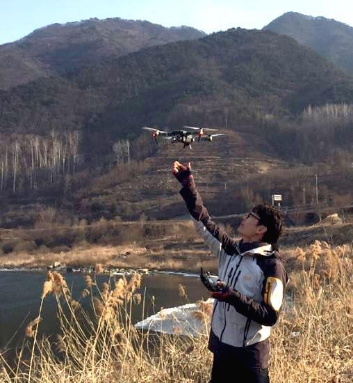
Image Composite Editor는 여러개의 연속된 이미지를 병합할 수 있는 프로그램입니다.
Image Composite Editor is a program that allows you to merge multiple consecutive images.
중복된 부분이 있는 여러장의 사진을 자동으로 병합하여 주기 때문에,
Because it automatically merges multiple pictures with duplicate parts,
드론으로 촬영한 다수의 지상사진을 하나의 고해상도 사진으로 만들때 매우 유용합니다.
It’s very useful when you make a lot of ground photos from drones into one high-resolution picture.
사용법도 매우 간단한데, 파일을 불러온 후 [STITCH] 또는 [NEXT]를 누르면,
It's very simple to use. After you imported files , click [STITCH] or [NEXT] .


로딩 후에 다음과 같이 알아서 병합해 줍니다.
After loading, you can identify the merged photos by yourself as follows.
어떤 형태로 찍었는지에 따라 선택후, [CROP]또는 [NEXT]를 누른 후,
Select what form it was filmed in, and then click [CROP]or [NEXT],


필요한 부분만 선택하여 잘라낸 후, 저장하면 됩니다.
Select and cut only the required parts and save them.
아주 쉽죠?
It's very easy, isn't it?
프로그램 출처 : 아래 링크에서 무료로 받으실 수 있습니다.
Program Source: This program can be downloaded free of charge at the link below.
Image Composite Editor - Microsoft Research
Image Composite Editor (ICE) is an advanced panoramic image stitcher that creates a high-resolution panorama that seamlessly combines the original images.
www.microsoft.com
If my article was helpful, please tap ♡공감 at the bottom.~
It's a huge boost to the blogger. : )
'컴퓨터' 카테고리의 다른 글
| 네이버 광고를 활용한 트렌드 파악 및 검색어 최적화 (0) | 2020.01.23 |
|---|---|
| 오캠을 활용한 컴퓨터 화면 녹화/움짤(GIF) 바로 만들기 (0) | 2020.01.17 |
| 윈도우10 마이크 테스트 방법 (0) | 2019.12.10 |
| Windows 10 버젼 1803 블루스크린 해결법 (0) | 2019.12.05 |
| 윈도우에서 정상적으로 삭제되지 않은 프로그램 지우기 (0) | 2019.12.05 |
